

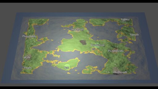
The map is procedurally generated and is filled with settlements populated by groups with procedurally generated languages, cultures and religions. This is still early days but I’m pretty happy with how things are going. The language generation still needs a bit of work (as does everything!), hence the weird city names
Sounds awesome! How are you handling the map rendering? I was trying to use NASA’s heightmap data to render Earth but it was way too big for Godot to handle well
I’m using a 512x512 perlin noise heightmap and normal map which is passed to a shader which sets the vertex heights of a plane mesh and colours the map based on height. Rendering a map of the entire earth seems like quite a lot! Maybe you can use a scaled down version or something. The Europa Universalis heightmap is 5632x2048